Predicting what the weather will do over the course of a winter season is about as easy as figuring out when a Las Vegas slot machine is going to pay off big.
This is especially true in a state such as Utah, which is on the fringe of being affected by La Nina and El Nino weather patterns.
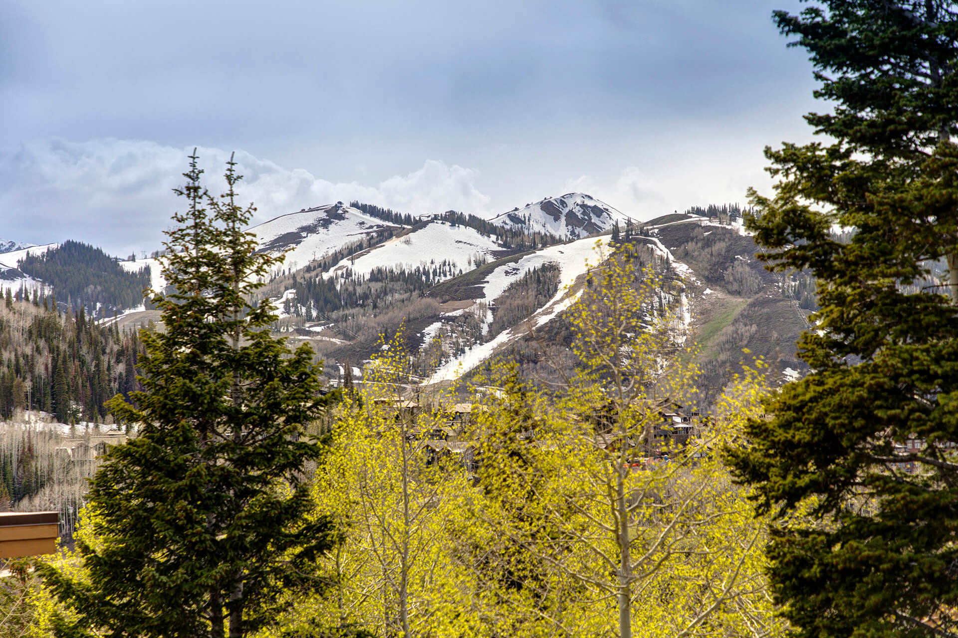
As a rule, a La Nina pattern generally favors northern Utah ski areas with massive amounts of snow, as was the case last winter. El Nino events usually give southern Utah mountains more of the white stuff.
Taking that into consideration, weather forecaster Glen Merrill of the Salt Lake City office of the National Weather Service said he thinks the La Nina weather pattern could possibly lead to another good snow year in northern Utah.
According to the National Oceanic and Atmospheric Administration, La Nina is characterized by unusually cold ocean temperatures in the Pacific. El Nino, on the other hand, is marked by warmer-than-normal ocean temperatures in that same region.
“It’s hard to compare much to last year, which was an exceptional year,” said Merrill. “The large-scale pattern shows we have entered into another La Nina. Typically what that does is form a more active storm branch on the northern track. Places like the Pacific Northwest and British Columbia and northern Rockies states such as Idaho and Wyoming get above-average snowfall.”
The problem for forecasters is that Utah fits in the middle of most patterns.
“A lot of times, the north does see above-average snowfall in La Nina years,” said Merrill. “But not every time.”